|
|
Poster Road Map
(Power Point Slides) |
Navigating Through the Posters--An Overview (Resource Paper) |
| The Posters and accompanying materials are presented in the same formats in which they were submitted by the authors. The information is in a variety of software formats including MS Word, Power Point and Adobe PDF while the photos are jpegs. Please contact the authors if you have particular questions regarding material. | ||
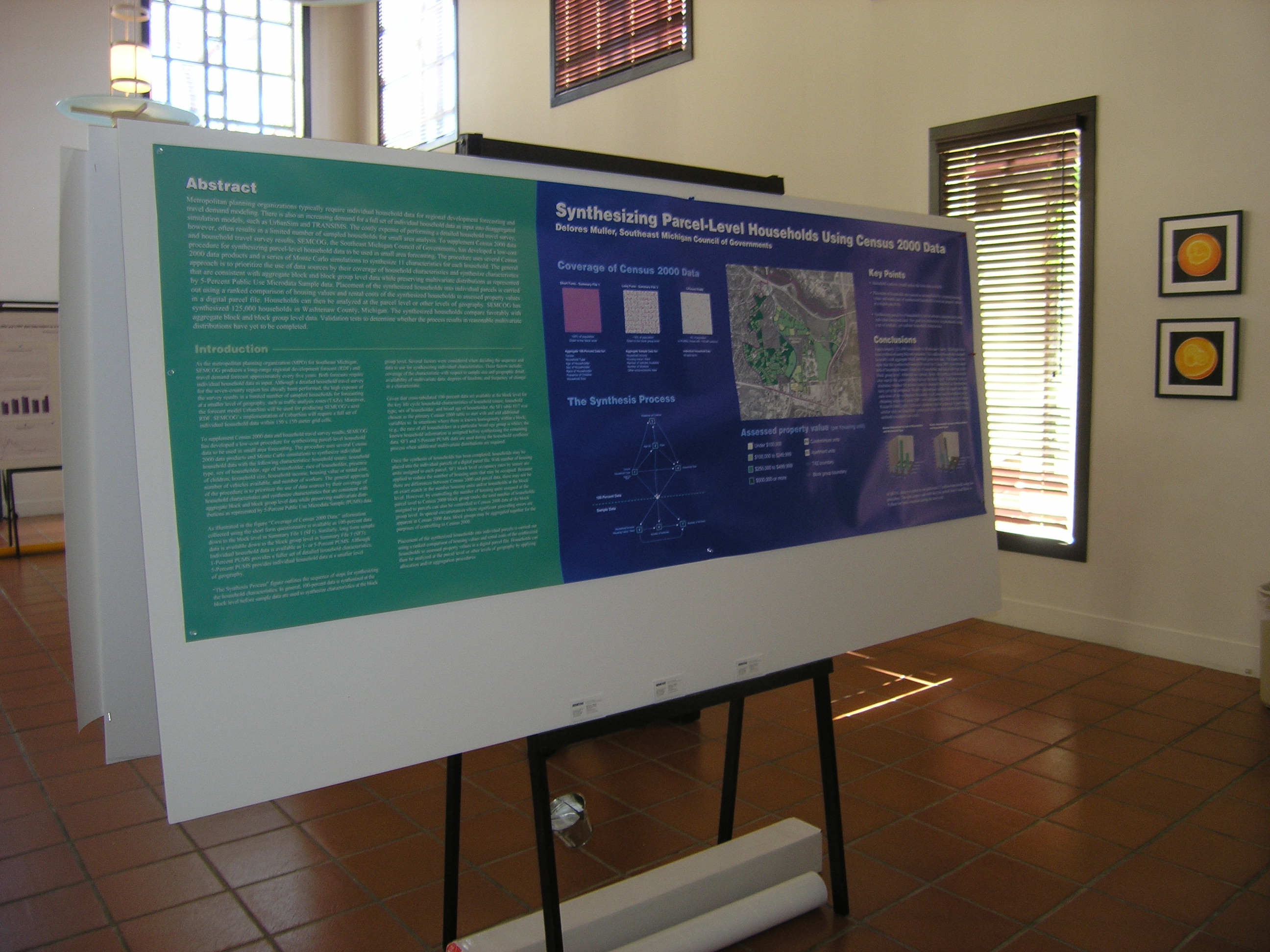
| Synthesizing Parcel-Level Households Using Census 2000 Data (Muller) | Abstract Poster Photo1 Photo2 |
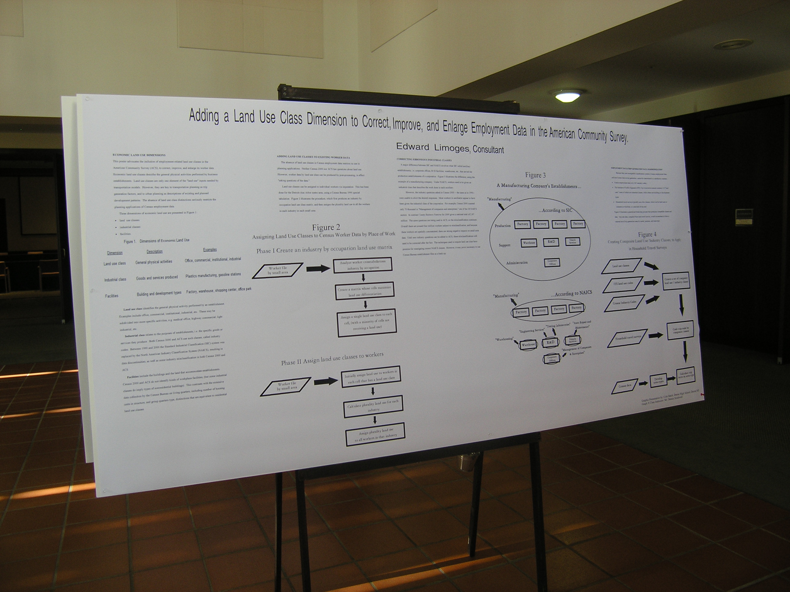
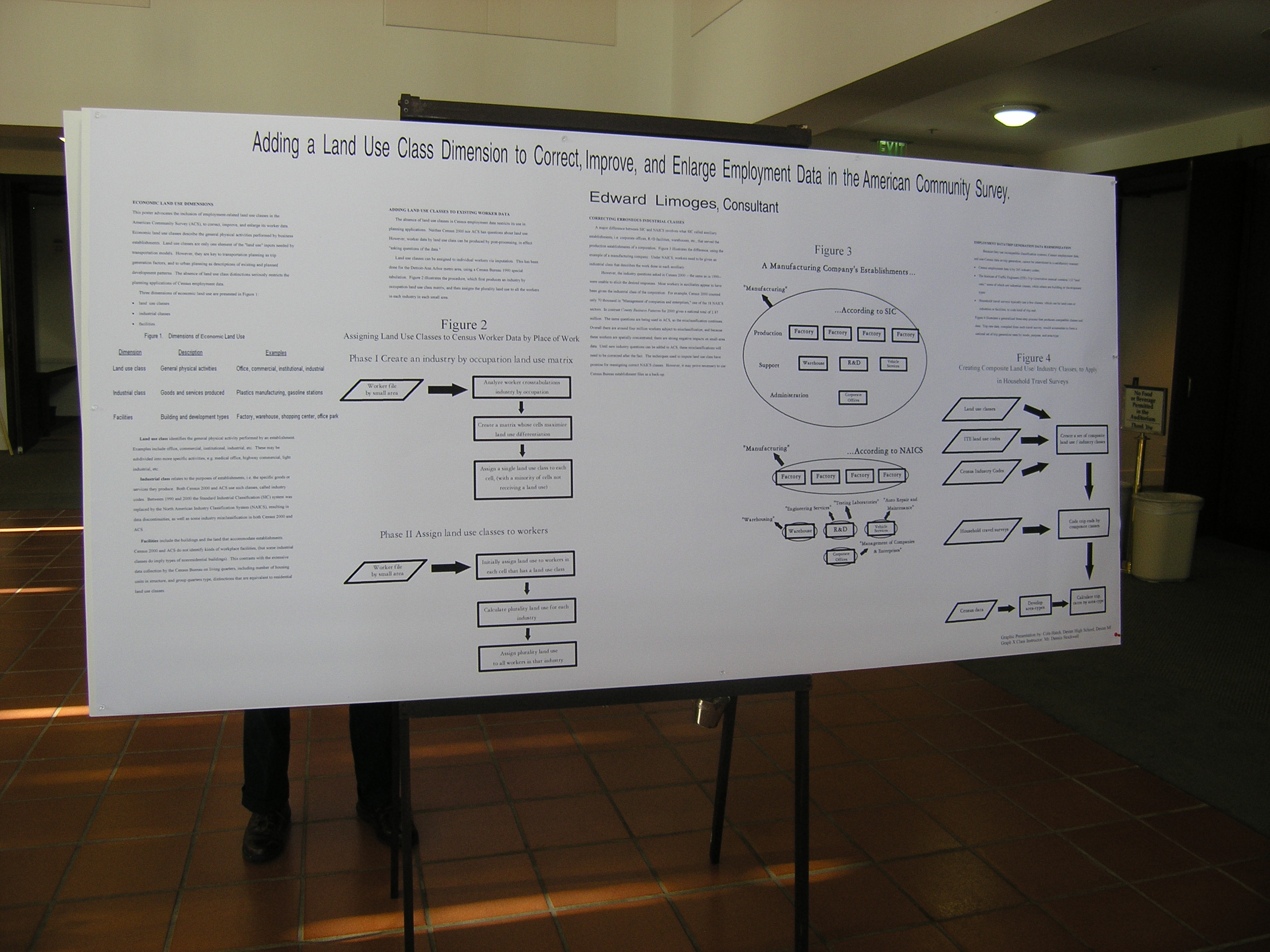
| Adding a Land Use Class Dimension to Correct, Improve, and Enlarge Employment Data in the ACS (Lemoges) | Abstract Poster Photo1 Photo2 |
| The PUMS and IPUMS of the 2000 Census (Azimi) | Abstract Poster Photo |
| Disclosure and Utility of Census Journey-to-Work Flow data from the American Community Survey- Finding the Right Balance (Christopher) | Abstract Poster Photo1 Photo2 Paper |
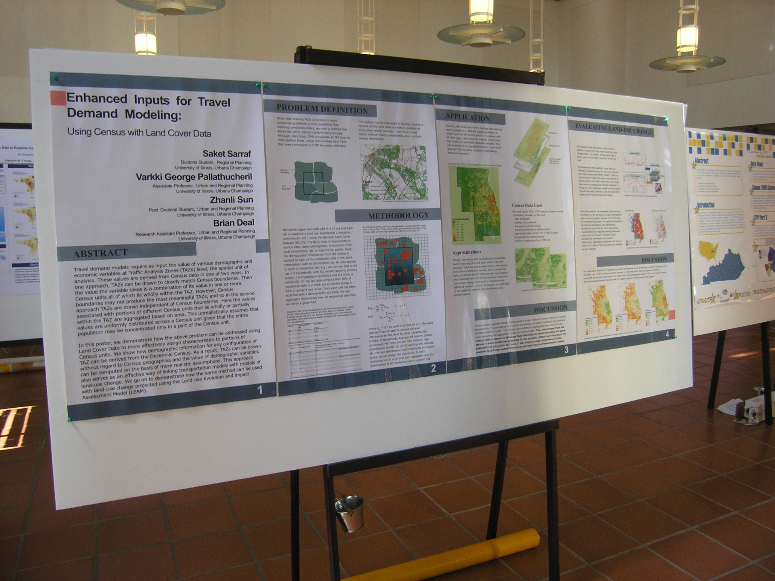
| Enhanced Inputs for Travel Demand Modeling: Using Census Data with Land Cover Data (Sarraf) | Abstract Poster Photo1 Photo2 |
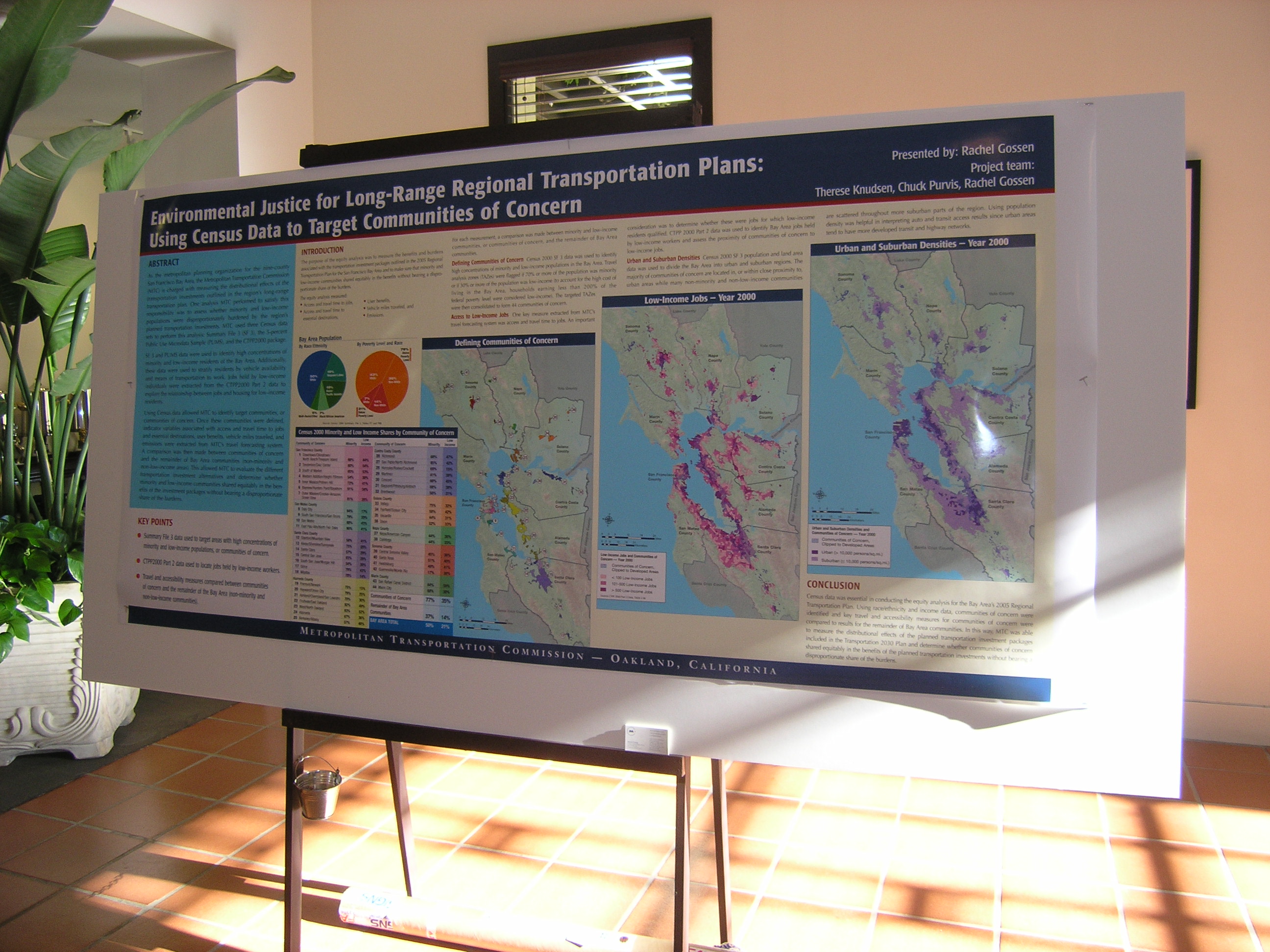
| Environmental Justice for Long-Range Regional Transportation Plans: Using Census Data to Target Communities of Concern (Gossen) | Abstract Poster Photo1 Photo2 Photo3 |
| Using Census Data to Examine the Pedestrian Friendliness of the Built Environment (Young) | Abstract Poster Photo1 Photo2 Paper |
| Florida Journey to Work GIS Web-Site (Catala) | Abstract Poster Photo1 Photo2 |
| ACS data in the analysis of race/ethnicity-specific travel behavior (Berman) | Abstract Poster1 Poster2 Photo |
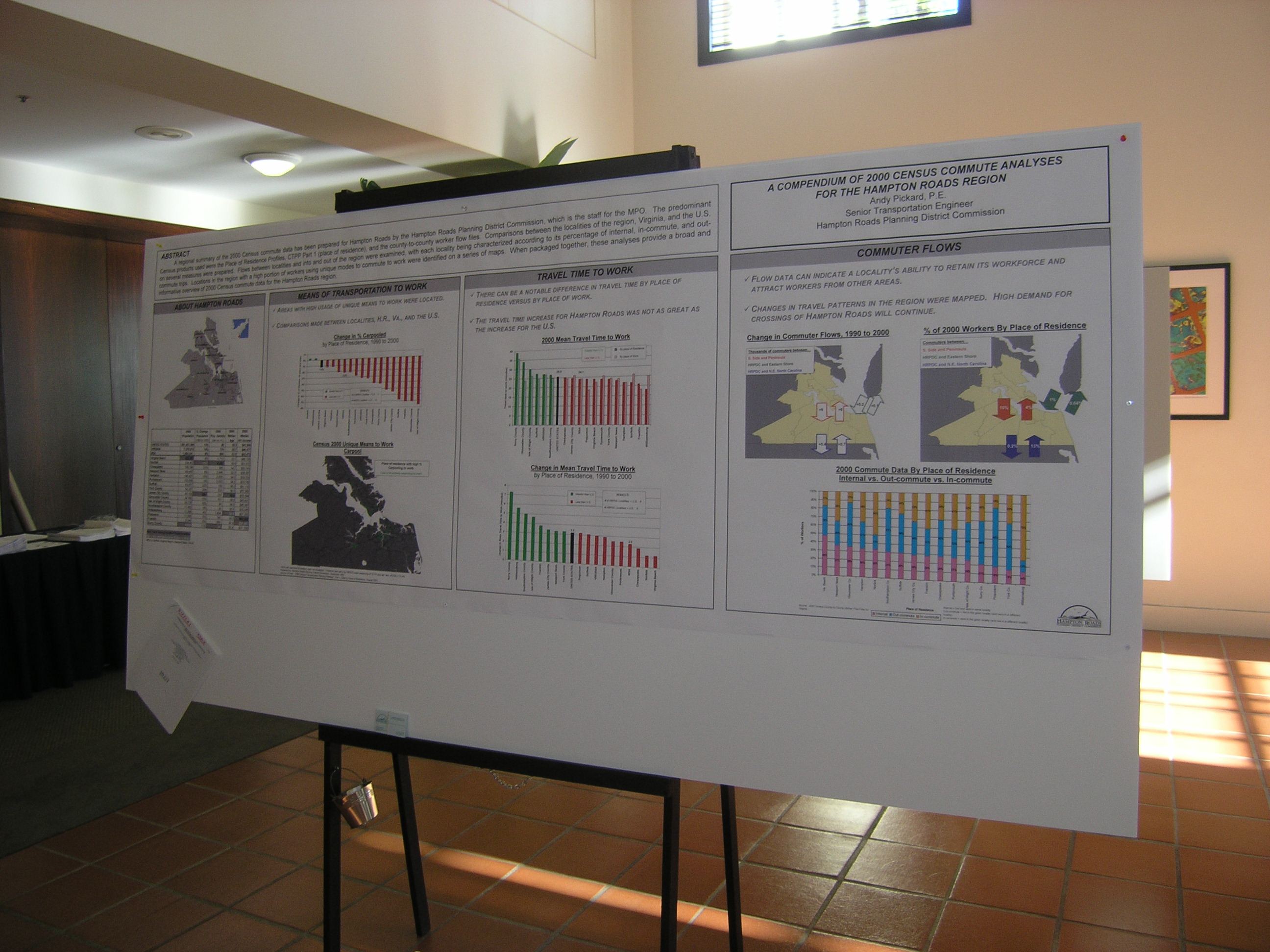
| A Compendium of 2000 Census Commute Analyses for the Hampton Roads Region (Pickard) | Abstract Poster Photo1 Photo2 |
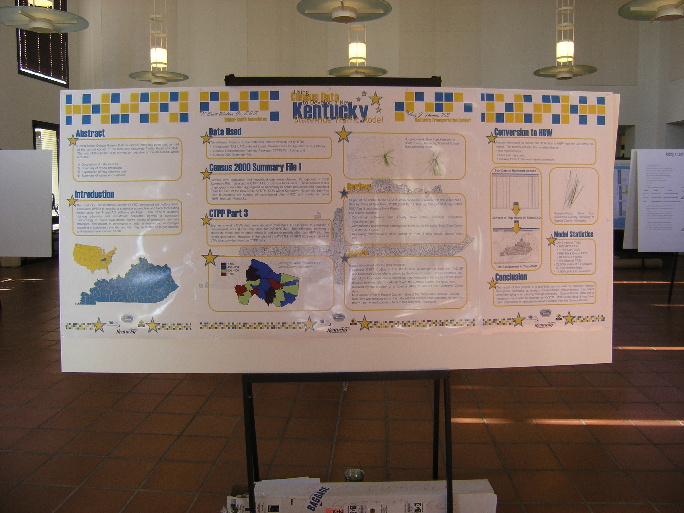
| Using Census Data to Develop a New Kentucky Statewide Traffic Model (Walker) | Abstract Poster Part1 Poster Part2 Poster Part3 Photo1 Photo2 |
| Getting Around Rounding and Suppression Issues with CTPP (Rohanna) | Abstract Poster Photo1 Photo2 |
| Smart Moves - Utilizing Census Data for Transit Planning (Cottrill) | Abstract Poster-ppt Poster-pdf Photo |
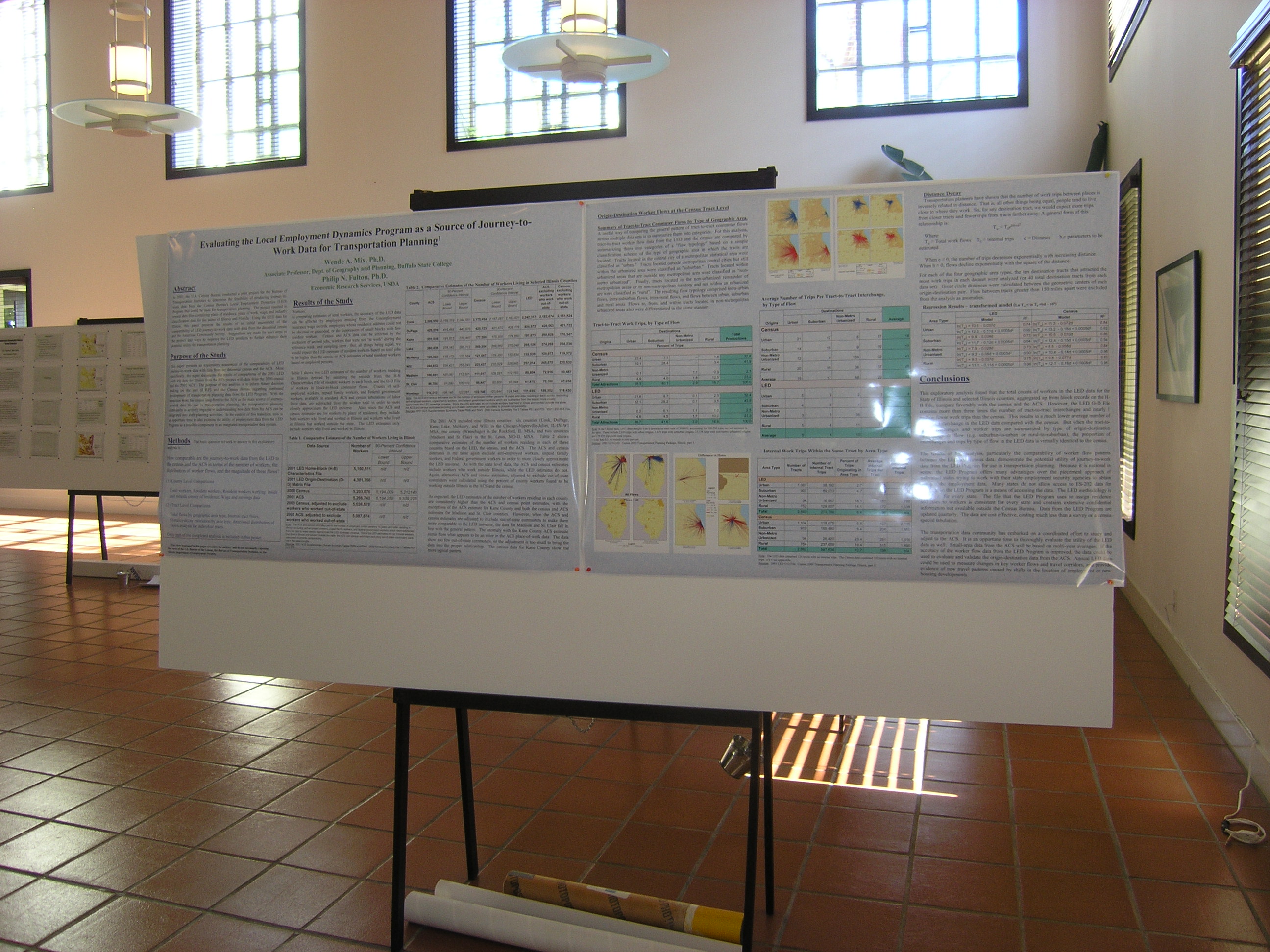
| Comparing Decennial Flow Data to Place of Work Data from the Local Employment Dynamic Program (Mix) | Abstract Poster1 Poster2 Photo1 Photo2 |
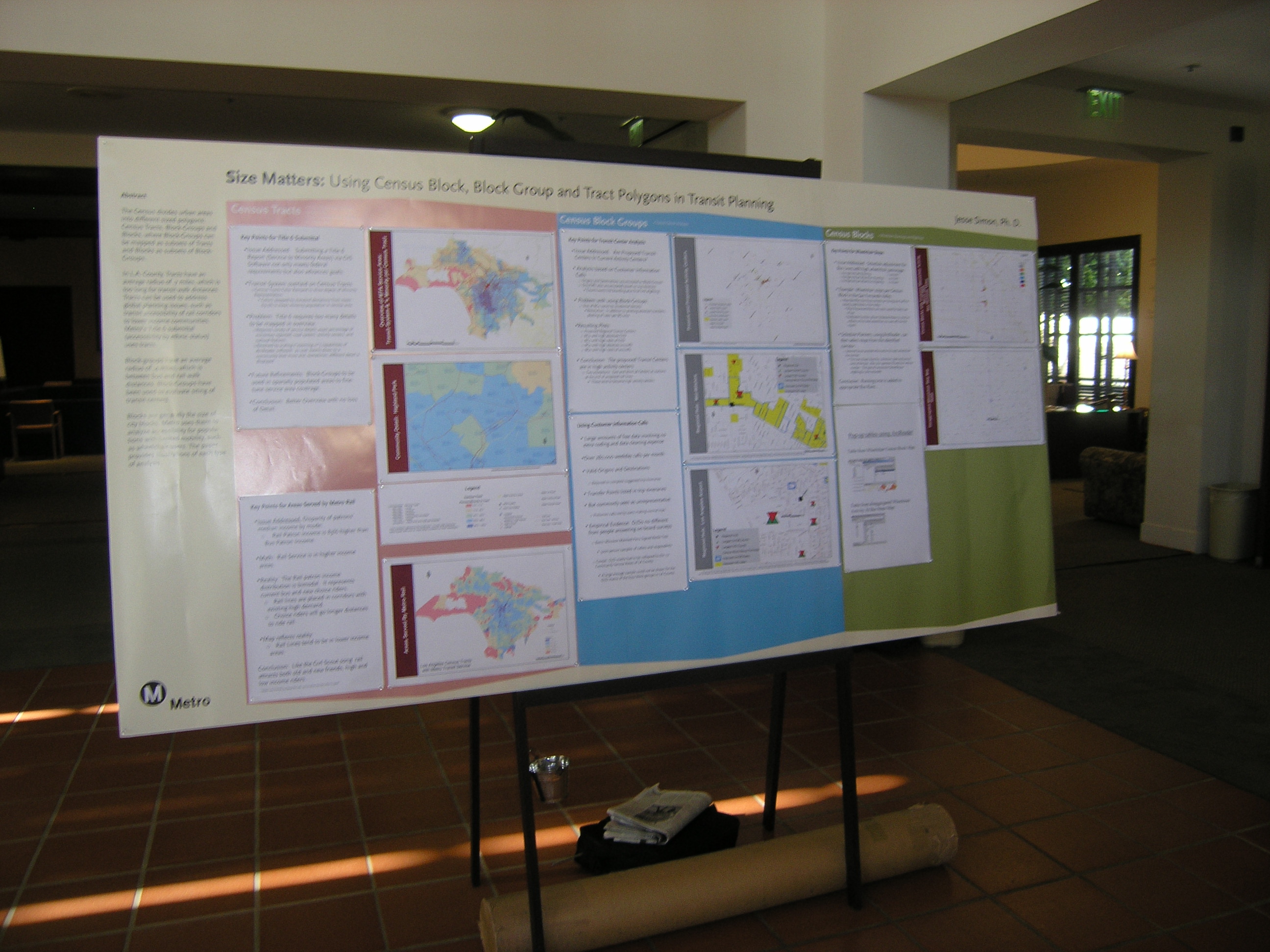
| SIZE MATTERS: Using Census Block, Block-Group and Tract polygons in Transit Planning (Simon) | Abstract Poster Photo |
| TriMets Transportation Investment Plan (TIP): Ensuring Transit Equity with the US Census (Hardin) | Abstract Poster |
| Using the American Community Survey to Monitor the State of the System (Israel) | Abstract Poster (see files in folder) Photo |
| How Census and CTPP 2000 Data Helped Us in the Use of Regional Travel Demand Forecast Model (Ju) | Abstract Poster Layout Poster Charts Photo1 Photo2 |
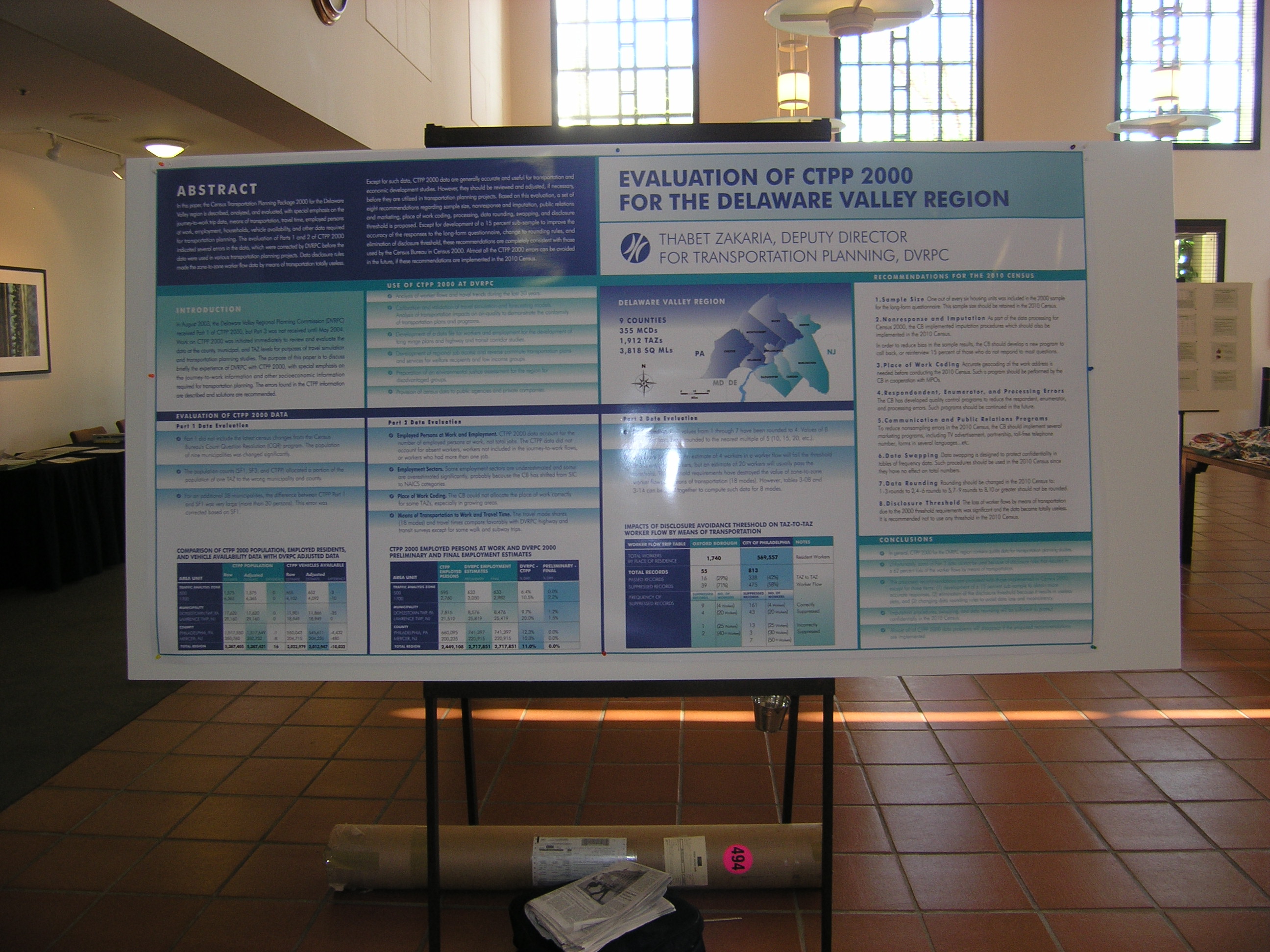
| Evaluation of CTPP 2000 for the Delaware Valley Region (Zakaria) | Abstract Poster1 Poster2 Photo1 Photo2 |
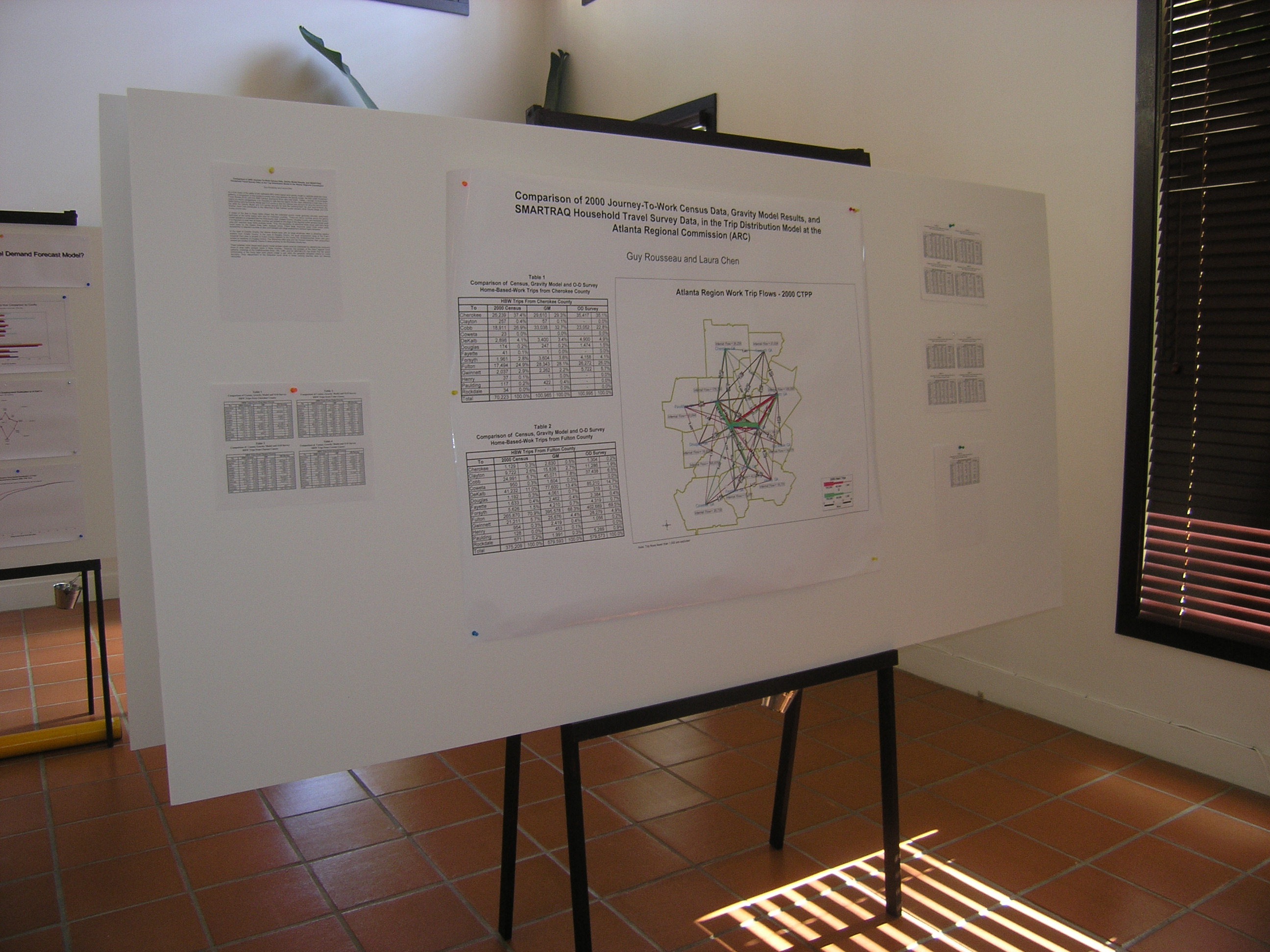
| Comparison of 2000 JTW Census Data, Gravity Model, and O-D SMARTRAQ Travel Survey in the Development of the Distribution Model (Chen) | Abstract Poster Photo1 Photo2 Photo3 |